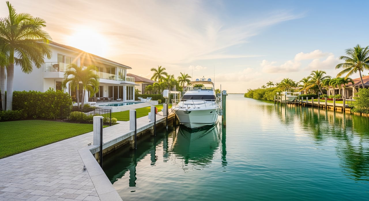
Shopping for a Cape Coral waterfront home and wondering what “direct gulf access” really means for your boat and everyday trips? You are not alone. Boaters often find the terms confusing until they look at routes, bridges, and actual time on the water. This guide breaks down direct vs. indirect canal routes, the impact of bridges and speed zones, and how to match a canal to your boat and lifestyle. Let’s dive in.
What “direct gulf access” means
In Cape Coral, canals connect to interior channels that lead to San Carlos Bay, Pine Island Sound, or the Caloosahatchee River. What matters is whether anything overhead or along the route slows you down or blocks you.
- Direct, bridge‑free access: You can go from dock to open water without passing under low fixed bridges. This is the simplest for tall vessels and usually the fastest.
- Indirect with drawbridges: You can clear bridges when they open, but you may wait for a schedule or on‑demand openings.
- Indirect with low fixed bridges: Vertical clearance limits your air draft. Tall boats may not pass.
- River or longer transit routes: Some canals require running the Caloosahatchee River or longer interior channels, which adds time and may include bridges, current, and more slow zones.
In general, many southwest and western Cape Coral canals have shorter runs to San Carlos Bay and Pine Island Sound. Central and eastern areas often require longer transits to reach the river before you get to open water. Always confirm your exact water route on up‑to‑date charts.
Clearance and depth: what to check
Cape Coral boating is about two kinds of clearance. Think of these as “over” and “under.”
Vertical clearance and air draft
Air draft is the height of your vessel above the waterline. Radar arches, hardtops, and masts all count.
- Tall sailboats and larger motor yachts may need openings or bridge‑free routes.
- Express cruisers and sportfish with arches often need 12–25 feet of clearance.
- Small center consoles and skiffs rarely have clearance issues.
Before you assume passage is possible, verify bridge types and listed clearances using official sources like NOAA charts, USCG bridge and Local Notices to Mariners, and Florida Department of Transportation (FDOT) listings. Start with the NOAA Chart Catalog, U.S. Coast Guard Local Notices to Mariners, and FDOT Structures.
Underwater clearance and draft
Depth varies by canal and can change with tides and shoaling.
- Deep‑keeled sailboats and larger yachts must confirm depths in the canal, at the dock at mean low water, and along the route.
- Shoaling can occur near passes and inlets, so monitor conditions and aids to navigation.
Use NOAA soundings and local marina guidance, and check NOAA Tides and Currents before you go.
Canal width and maneuvering room
Many residential canals were designed for small to mid‑size boats. Larger vessels should confirm beam, turning basins, and neighboring dock layouts to ensure safe maneuvering.
Utilities and overhead lines
Besides bridges, be aware of overhead utility lines near shore. Confirm any overhead obstructions at your dock and along the route.
Travel time: how to estimate yours
On‑water travel time depends on distance, speed rules, bridges, and conditions. Here is a simple approach:
- Measure the water route distance on updated NOAA charts or a chartplotter. Ignore road distance.
- Apply expected speeds: canals and no‑wake zones are often 5–8 knots. Open water cruising can be 18–30+ knots depending on your vessel.
- Add time for drawbridge openings, congestion, fueling, and tides or current.
Typical ranges in fair conditions:
- Southwest or western Cape Coral canals that lead toward San Carlos Bay or Pine Island Sound: about 5–25 minutes to open water for many boats under ideal conditions.
- Central to eastern Cape Coral canals that run to the Caloosahatchee River or add more channel miles: about 20–45+ minutes depending on speed limits and exact location.
- Routes with drawbridges or congested river sections: add 10–30+ minutes for scheduled openings and slower traffic.
These are general examples. Always measure the route and factor posted speed limits and bridge operations.
Common route patterns in Cape Coral
Many buyers focus first on how quickly they can reach San Carlos Bay or Pine Island Sound. While every canal is different, you will often see these patterns:
- Western and southwestern corridors are commonly considered shorter runs to open water with fewer bridge conflicts. Verify exact paths on current charts.
- Central and eastern corridors typically require transiting the Caloosahatchee River and may include bridge clearance checks and more slow zones.
To confirm a specific property’s route and any bridge conflicts, consult the NOAA Chart Catalog, review U.S. Coast Guard Local Notices to Mariners for any temporary changes, and review local canal information from the City of Cape Coral and Lee County GIS.
Match canal type to your boat and lifestyle
Choosing the right canal is about your boat today and the lifestyle you want tomorrow.
- Small boats and skiffs: Narrow canals and shallow depths are usually fine. Low air draft means bridges are rarely an issue. Great for frequent, quick trips and inshore fishing.
- Mid‑size cruisers and sportfish (25–40 ft): Look for moderate canal width, 6–10+ feet depth at mean low water, and workable turning basins. Confirm arch or hardtop clearance under any bridges.
- Large yachts and tall‑masted sailboats: Favor wide canals with deeper, maintained depths and bridge‑free routes or reliable drawbridge operations. Many cruising sailboats need 40–60+ feet of vertical clearance.
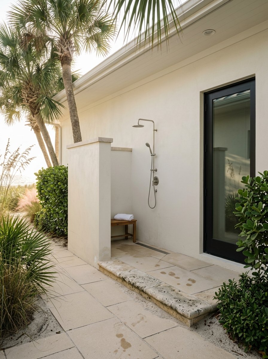
- Liveaboard plans: Prioritize docks or marinas with full utilities, pump‑out, secure access, and documented hurricane procedures. Access time to open water should match your cruising habits.
- Insurance, resale, and storm planning: Carriers may review depth, surge exposure, and dock protections. For larger vessels, prearranged haulout is a smart plan. Narrow or shallow canals can complicate storm moves.
Tools and local checks you should use
A little homework goes a long way to avoid surprises.
- Review updated NOAA charts and measure actual water routes.
- Check NOAA Tides and Currents for tidal stage and current.
- Monitor U.S. Coast Guard Local Notices to Mariners for shoaling, aids to navigation changes, and temporary hazards.
- Confirm bridge operations and contacts via FDOT Structures and USCG drawbridge regulations cited in Local Notices.
- Use local resources like the City of Cape Coral and Lee County GIS for canal maps and public data.
- Call nearby marinas or harbormasters for current depth guidance, typical bridge waits, and best routes at different tides.
- Verify dock depth at mean low water and check for any overhead obstructions at your slip.
- Do a trial run at different tides and times of day to time the route yourself.
Buying waterfront in Cape Coral: how we help
If you are comparing homes by canal, route, and travel time, you want an advocate who knows the water as well as the street. We help you measure the actual water route, confirm bridge clearances, and verify depth at the dock. For out‑of‑state buyers, we provide video walk‑throughs, organize inspections, and coordinate with marinas so you have real data before you write an offer.
From relocation and remote closings to investor purchases, we pair lifestyle insight with smooth, well‑managed transactions. If gulf‑access living is your goal, we will help you find the right home and the right canal for your boat.
Ready to map your route to open water? Let’s talk about your boat, travel time goals, and the neighborhoods that fit. Connect with Danene Bazon PA to get started.
FAQs
What does “direct gulf access” mean in Cape Coral?
- It means no low fixed bridges or long river transits between your dock and open water, so you can reach San Carlos Bay or Pine Island Sound without vertical clearance barriers.
How do bridges affect which boats can pass in Cape Coral?
- Fixed spans limit air draft and may block tall boats, while drawbridges can open on demand or by schedule; always verify clearance and timing using NOAA charts, USCG notices, and FDOT.
How long does it take to reach open water from southwest Cape Coral?
- Many routes can be about 5–25 minutes in fair conditions, but your actual time depends on exact location, speed zones, congestion, and any bridge operations.
What tools help me estimate time and clearance for a property?
- Use NOAA charts to measure the water route, check NOAA Tides and Currents, review USCG Local Notices to Mariners, and confirm bridge operations via FDOT and USCG.
Can a sailboat with a tall mast find gulf access in Cape Coral?
- Yes, but you may need a bridge‑free route or reliable drawbridge openings; confirm vertical clearances and depths along the entire path before you buy.
Do speed zones add significant time to Cape Coral routes?
- Yes, no‑wake zones in canals and parts of the river often limit you to 5–8 knots; include these sections plus any bridge waits in your total time estimate.